El Barco de Ávila is a municipality in the province of Ávila, located in the autonomous community of Castilla y León, Spain. The town sits in the upper Tormes River valley, about 86 kilometers southwest of the provincial capital. It serves as the head of the Alto Tormes comarca. The elevation of the area ranges between 990 and 1,009 meters above sea level, with the town center situated around 1,007 meters.
The municipality covers a total area of 12.68 square kilometers. As of 2017, the population was approximately 2,436 residents, resulting in a population density of about 192 inhabitants per square kilometer.
Climate: Temperature and Rainfall
El Barco de Ávila has a continental climate with cold winters and warm summers.
- The average annual temperature is around 11.5°C.
- January is typically the coldest month, with average temperatures near 3.0°C, while August is the warmest, averaging 21.7°C.
- The area experiences more than 70 days of frost per year, primarily between October and April.
Annual rainfall varies between data sources, with reported values ranging from 638 mm to 1,093 mm. Rain is more frequent in autumn and spring, with October often being the wettest month. July is the driest, with very low precipitation.
Urbanisations and Residential Areas
While the historic center remains the core of El Barco de Ávila, several urbanised areas have developed around it:
- Urbanización El Abanico: A residential zone located north of the historic town. It includes a mix of apartments and detached homes, many with terraces and garages, within walking distance of local services.
- Urbanización Buenos Aires (also called Fuente Calera): A planned residential area with available plots for single-family homes. It includes infrastructure for utilities and offers views of the surrounding mountains, including the Sierra de Gredos.
- Viviendas Sociales (Camineros): A group of rehabilitated public housing units developed as part of a regional housing program. The homes are around 90 to 96 square meters in size, feature three bedrooms and a small garden or patio, and are designed for energy efficiency. These homes are primarily intended for young families and offered at subsidized rent.
Infrastructure and Urban Layout
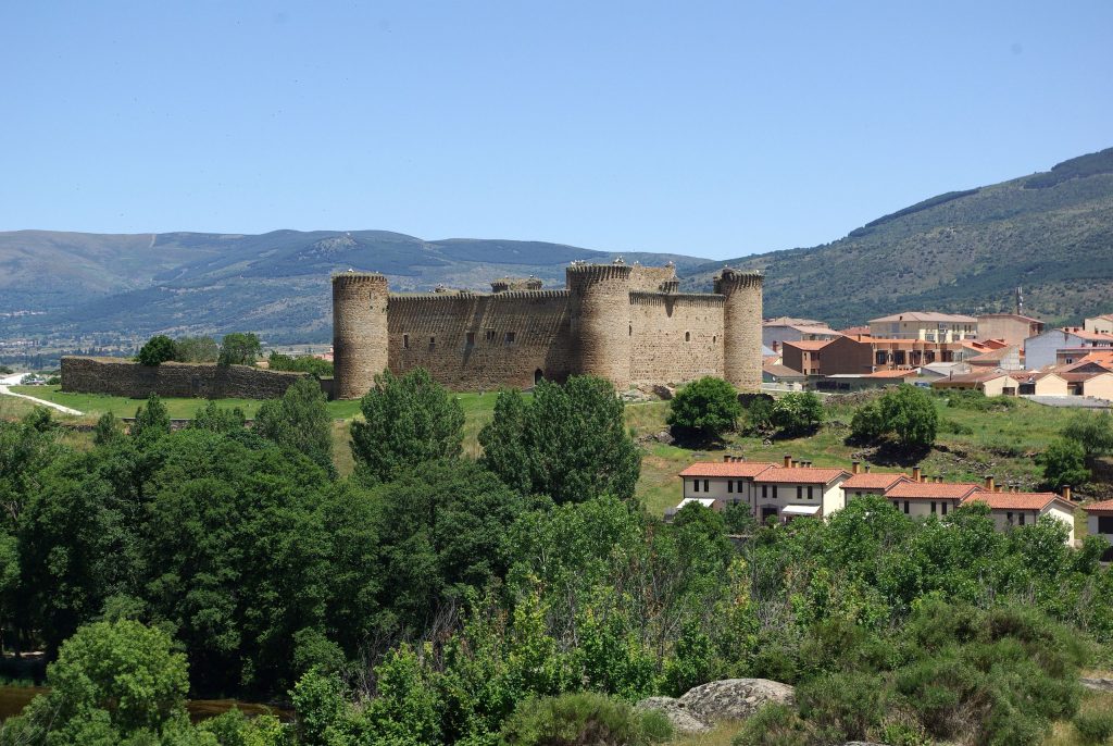
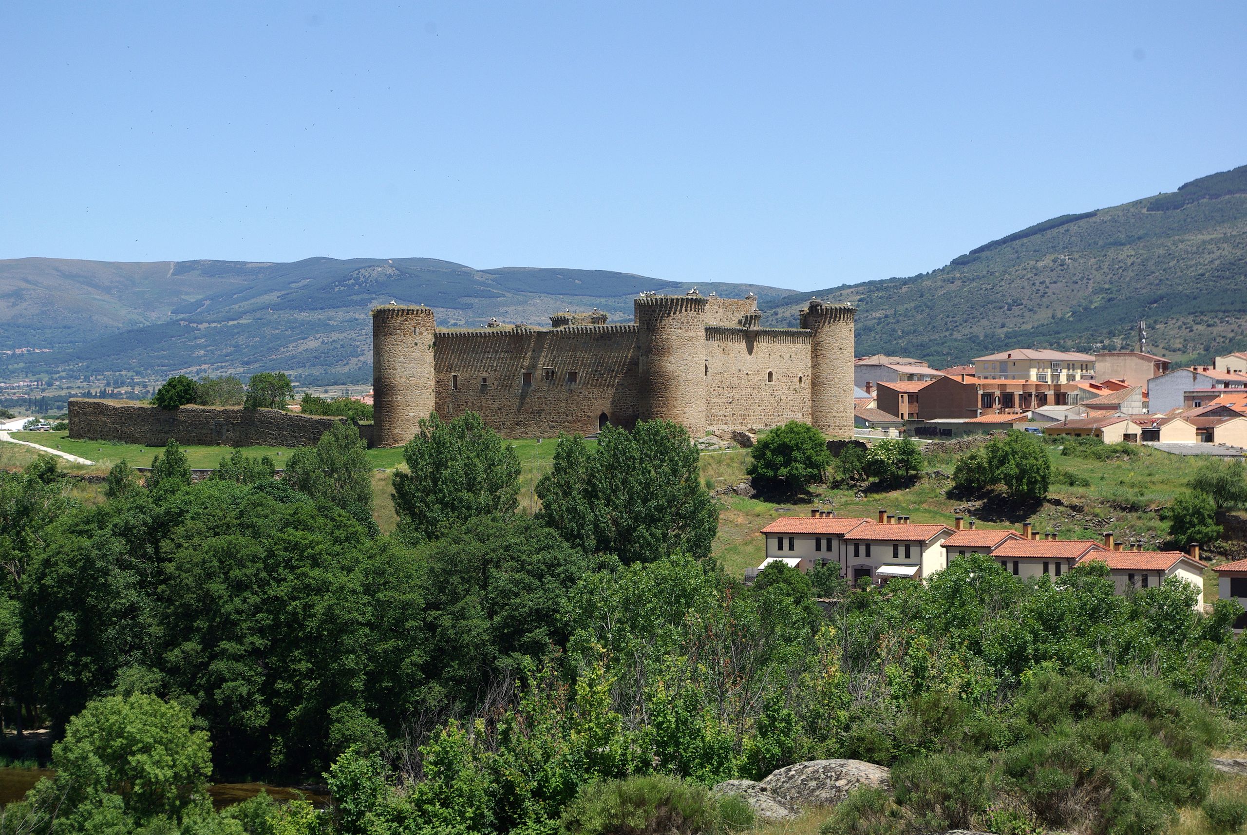
The town preserves elements of its medieval heritage, including the Castle of Valdecorneja, sections of its defensive walls, the Puerta del Ahorcado gate, and a stone bridge over the Tormes River. Several churches and traditional buildings, such as the Casa del Reloj and Casa de los Balcones, contribute to its historical character.
El Barco de Ávila has essential services including schools, a health center, small supermarkets, and various local businesses. The national road N-110 passes nearby, providing road connections to Ávila, Plasencia, and Béjar.
Summary
- Area: 12.68 km²
- Population: approx. 2,436
- Elevation: ~1,007 m
- Average annual temperature: ~11.5°C
- Coldest month (Jan): ~3.0°C
- Warmest month (Aug): ~21.7°C
- Annual rainfall: 638–1,093 mm
- Urbanisations: El Abanico, Buenos Aires (Fuente Calera), Camineros
El Barco de Ávila is a small but organized town, balancing historical significance with modest residential development. It is shaped by a mountain climate, a compact urban core, and peripheral housing areas that support a stable population.
![]()